


Drone Mapping offers insight into Peru's "Band of Holes"
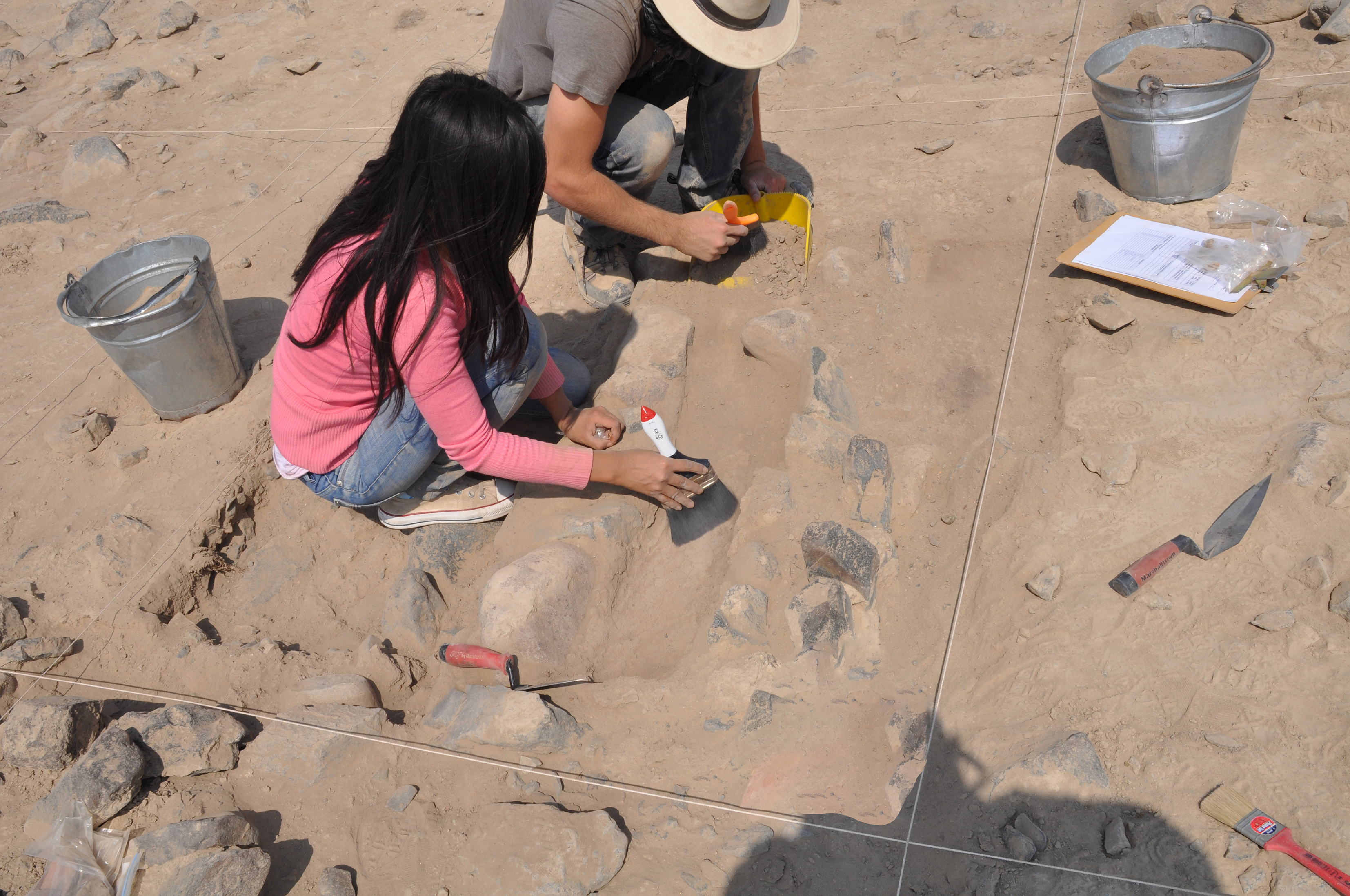
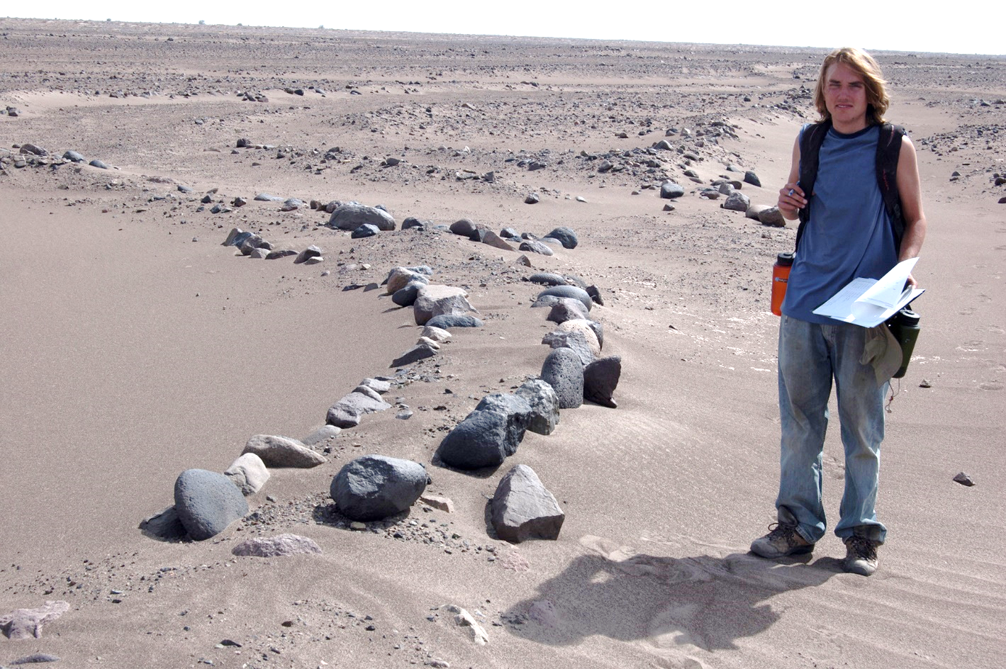
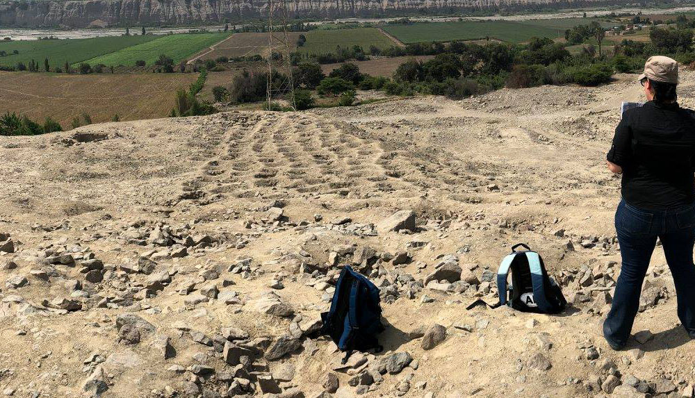
In a new study, led by IASCE Director Charles Stanish, drone mapping was used to examine the enigmatic site known as the “Band of Holes” (on Monte Sierpe in Peru’s Pisco Valley) and found that its ~5,200 holes are arranged in distinct blocks with numerical patterns reminiscent of the Andean accounting device called a khipu. Dr. Stanish had previously proposed the site functioned as an accounting/tribute mechanism, and his work underpins the new interpretation that the holes first served as a pre-Inca barter marketplace and later as an Inca recording system. Soil samples revealed maize pollen and reed fragments, supporting the exchange-and-storage hypothesis.