About
Access 3D Lab
Access 3D Lab is an initiative of the Institute for Digital Exploration (IDEx), serving as a dedicated space to support faculty and students in their teaching and learning activities. It is located in CMC 102, on the ground floor of the College of Arts and Sciences Multidisciplinary Complex. The lab consists of a 24-seat classroom, a conference room, and a 3D virtualization lab in which computer workstations and permanent 3D scanning stations are located.
By providing access to specialized hardware and technical expertise, the lab facilitates digital scholarship, advanced visualization, and remote sensing within the academic curriculum. This collaborative environment empowers the USF community to integrate high-end 3D scanning, immersive VR/AR, and LiDAR technologies directly into the classroom, transforming how data is analyzed and experienced across disciplines.
The CMC 102 computer lab contains 24 desktop workstations with ArcGIS 10.6 (24 seats), Artec Studio 12 (24 seats), Agisoft Metashape, Geomagic Wrap 2017 (24 seats), Pix4D (12 seats), and Google Sketchup (5 seats). USF faculty and instructors can configure the workstations to meet the needs of specific courses and workshops.
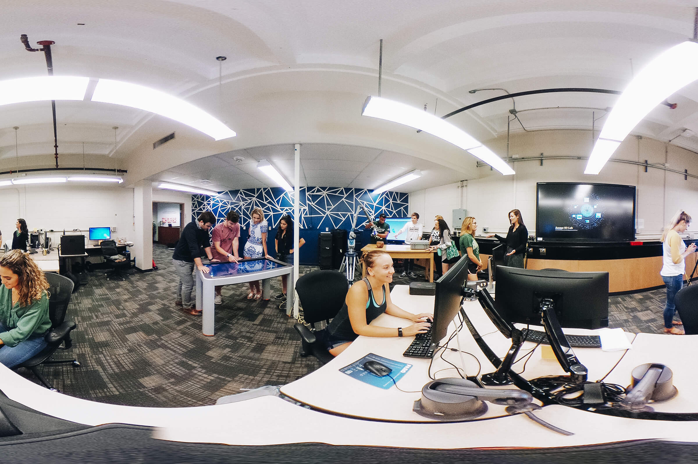
The main space at Access 3D Lab in CMC 102 contains seven permanent desktop computer workstations, with an additional six laptop computers that can be used in the lab and during fieldwork. Each workstation is equipped with 3D data processing software, and can be configured to meet an individual’s research needs if necessary.
For additional information contact IDEx Director Dr. Davide Tanasi.
Discover more about Access 3D Lab: