Geodesy Lab
About the lab
USF’s School of Geosciences and the Geodesy Lab operate a variety of geodetic instrumentation, as well as utilizing publicly available data such as GNSS ground station data and satellite radar data.
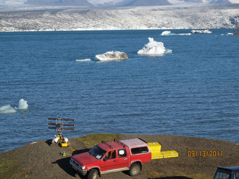
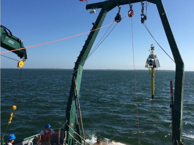
The image on the left shows our ground-based Ku-band (1.7 cm wavelength) interferometric radar, used to study landslides, volcano flank instability, and the motion of glaciers and ice sheets. It has been used at Jokulsarlon, Iceland, to measure dirurnal variations in Breidamerkuljokull, one of the main outlet glaciers for Vatnajokull, Iceland’s largest glacier. The image on the right shows one of our two geodetic spar buoys, installed offshore Tampa Bay, used to test various approaches for seafloor geodesy. The technology has application to subduction zones, the locus of Earth’s largest and most destructive earthquakes and catastrophic tsunamis. But in their current location, they have also proved useful for hurricane intensity forecasting, red tides, and harmful algal blooms.