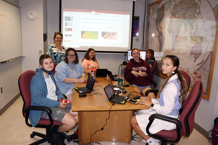
Lab rotation: Marine Remote Sensing
Lab leaders: Savannah Hartman & Dr. Digna Rueda
Peer counselor: Lauren Sasko
Written by, Savannah Hartman, Lab Leader
“So, what did everyone think remote sensing meant before they had our lab?” asked Lab Leader Savannah Hartman.
Campers responded:
“I thought it would be boring.”
“I honestly had no idea what to expect.”
"And what does everyone think now?” questioned Savannah.
Campers started screaming and jumping with excitement:
“It’s amazing!”
“I want this to be my career when I grow up!”
“I had no idea how easily I’d be able to understand it!”
Every single girl that left the Marine Remote Sensing lab was filled with excitement and curiosity. Our goal was to teach these young women about the complex mechanisms and properties of the ocean that we hadn’t thought about until grad school. They learned the various aspects of remote sensing, like how satellites take images, how we process those pictures, and how to interpret the oceanic processes they showed us. Specifically, the campers focused on the Coriolis Effect, upwelling, and eddies. They figured out that each and every one of these processes are interlinked and take place just outside their front door, in the Gulf of Mexico and the Gulf Stream.
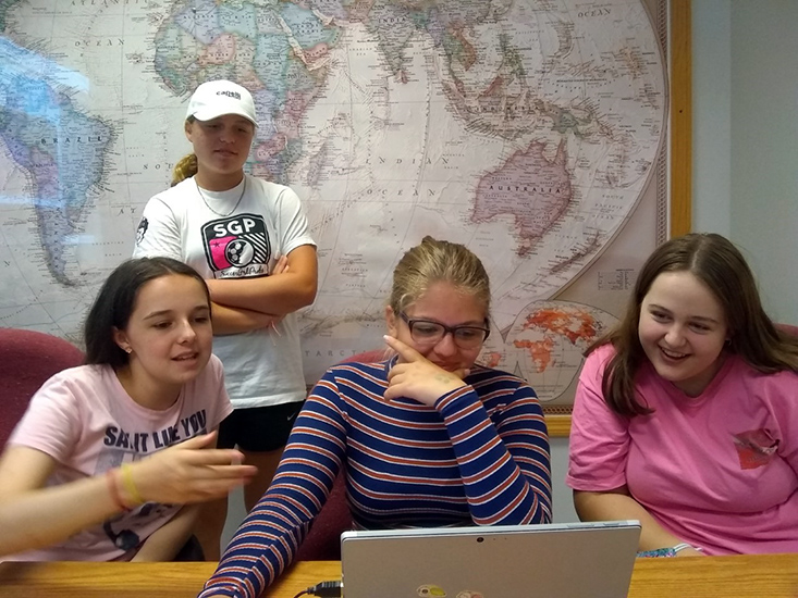
Campers Sophie, Madeleine, Arianna, and Kayla create a sea surface temperature model to show eddy formation in the Gulf of Mexico using Copernicus. (See gif below)
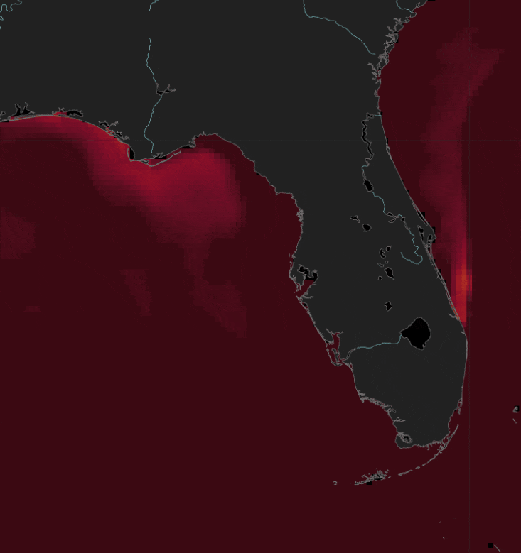
Sea surface potential temperature (°C) around Florida July 2020 – July 2021, with the color bar scaling blue (20 °C) to white (25 °C) to red (30 °C).”
The campers used the program Copernicus, a European-based, user-friendly, online platform that allows each person to create beautiful images and videos showing different products, such as sea surface temperature, chlorophyll-a concentration, sea ice, etc. The girls were able to explore the whole world and see that patterns repeated themselves over and over again. The more they found, the more excited they became. Let’s just say that when snack time came, everyone decided they’d rather work through their break instead of missing a single second of discovery.
“We’re all connected, and that’s the beauty of oceanography and remote sensing. You can actually see that!” exclaimed the Lab Leaders.