Student Blogs & Vignettes
Catherine Dietrick
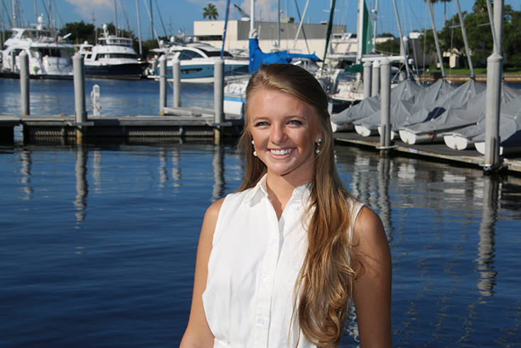
Catherine Dietrick
About my research
I have not yet started my research here at CMS just yet, but here is my background story and interests. I began my Master of Science in Geographical Information Science just a few months after I graduated with my Bachelor of Science in Environmental Science from the Florida State University. During this time, I was started to apply my GIS knowledge beyond academics and began working as an Engineering Technician for the Department of Environmental Protection’s Water Resource Management. I became greatly familiar with the coasts, and the service that GIS operations in tandem with Marine Science applications can provide. My definition of “the coast” changed to become a place not just where the ocean meets the sand, but an area where the stakeholders meet the policies, where the local communities meet impacts of climate change, and where the last survivors of a species meet a coastal construction line. Most importantly I learned “the coast” is where the opportunity to apply my knowledge met the opportunity to create change. The introduction of opportunity to create change has inundated my thoughts ever since I saw my first project come to completion at the DEP. The project was calculating the amount of sand that had been eroded during Hurricane Irma using LiDAR data, and the results were actually tangible. What became intangible was the new desire I had to continue helping coastal communities on every level through the use of Geographical Information Systems. I took on a second job helping out our neighboring county analyzing bathymetric data to study past coastal communities now buried in the sinks right off the shore in the Gulf of Mexico. I continued to research ways to create an impact, and formed a goal to eventually help out the coasts that seem to be lacking assistance, but need it the most. Eventually, I would love to be a coastal planner for an organization such as the United Nations under their Division of Ocean Affairs and Law of the Sea. Before becoming a coastal planner on a global scale, I want to continue contributing on a local scale to the State of Florida, where it all began.
Why USF CMS?
I knew after my first official visit to CMS I absolutely loved it. I had coordinated the visit with Dr. Arellano, as an opportunity to learn more about the programs and research, but I learned so much more about the amazing community at CMS. I first met Flo in the lobby, and she welcomed me to the college with a smile and let me know I would be meeting with Dr. Arellano in a classroom just down the hall. Dr. Ana Arellano provided ample information on the research at CMS while answering any and all questions I had. Dr. Arellano further introduced me to other professors and faculty including Samyntha Francis. Samyntha explained the application process and clarified any remaining questions on the administrative side. Dr. Arellano was helpful in introducing me to Dr. David Naar, as well who is now my advisor. Dr. Naar’s studies piqued my interest because he explained he dives into GIS and seafloor mapping in his research. These are exactly the areas that I am most comfortable with and hope to continue to further my knowledge in. Dr. Naar was gracious enough to introduce me over email to Dr. Steve Murawski who is the Principal Investigator of the Continental Shelf Characterization, Assessment and Mapping Project. Dr. Arellano shared about this project, too, and it is definitely an area I find interesting knowing I have unique toolsets I could bring to the study and contribute to the progress. The community I met at the USF College of Marine Science is definitely one in which I am excited to be a part of everyday bringing new perspective and discussion to. I am dedicated to continuing my education, and I truly can’t seem to find a better place to learn than here.