Research
Hydrography
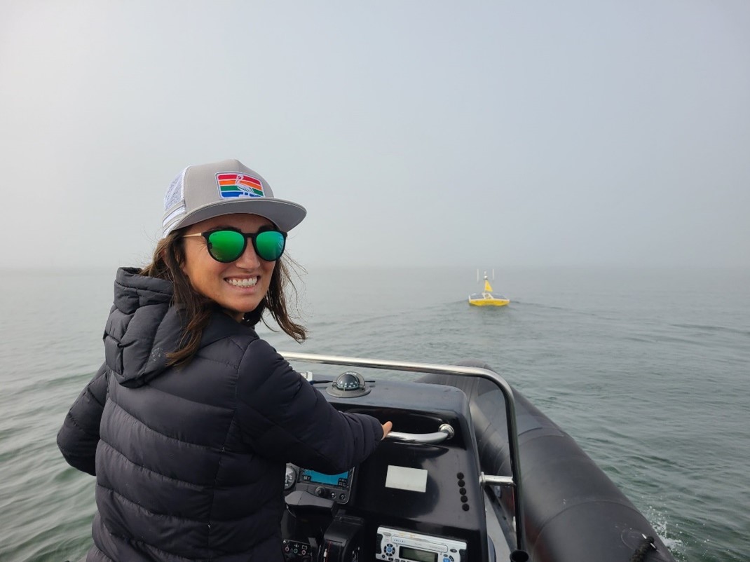
Hydrographers in the College of Marine Science conduct research related to seafloor mapping from nearshore areas to regions deep in the Gulf of Mexico and beyond. They use innovative acoustic, optical, and other remote sensing tools aboard crewed and uncrewed platforms to measure and map bathymetry and other seafloor characteristics. One primary research aim is to develop techniques scientists can use to efficiently map shallow, coastal areas and monitor changes over time.
Additional work includes processing and displaying multiple data types for scientific and public use, testing cutting-edge survey equipment, and using innovative data collection, processing and visualization techniques. This concentration offers students opportunities to develop a diverse skill set by working with faculty here in the College of Marine Science, the College of Arts and Sciences, School of Geosciences, and the College of Engineering.
View our Hydrography Faculty & Senior Researchers
Sample Research Groups
- COMIT - a five-year, $9 million cooperative agreement with NOAA to develop new technologies and approaches to ocean and coastal zone mapping to help build resilient coastal ecosystems, communities, and economies.
- Coastal Ocean Monitoring and Prediction System (COMPS) – a regional coastal ocean observing program along the Gulf of Mexico's west Florida coast that provides real-time data for emergency management and scientific use.
- CMS Ocean Technology Group – an in-house engineering team that provides development engineering expertise and at-sea support (e.g., sensor development, underwater pressure vessel fabrication, custom software applications, marine acoustics, RF systems, networking, and real-time control systems).
- Ocean Circulation Group - The Ocean Circulation Group within the USF CMS, established by Distinguished University Professor Emeritus Robert Weisberg – now led by Associate Research Professor and Director Yonggang Liu, engages in physical oceanographic studies of the ocean circulation and the interactions between the oceans and atmosphere.
- The USF Center for Maritime and Port Studies (CMPS) – a cross-departmental center at USF whose mission is to promote workforce development for the maritime transportation industry, conduct research to foster resilient maritime and port infrastructure and operations, and provide independent testing and evaluation of maritime sensor technologies.
- The USF Glider Fleet - The glider team helps scientists refine ocean current models, predict red tides, perform habitat and marine assessments, forecast and monitor hurricanes, and monitor water quality.
- School of Geosciences Geodesy Lab - The University of South Florida's Geodesy Laboratory uses microwave-based geodetic systems (GPS, satellite InSAR, and ground-based radar) to investigate changes in the Earth's land and water surfaces.